Between the granite-derived soils of North Scottsdale and the deeper alluvial deposits near the Salt River, subsurface conditions shift dramatically. A standard penetration test alone won't capture the dynamic stiffness contrast between these formations. The multichannel analysis of surface waves, which we run as a non-invasive array across the site, gives us the shear wave velocity profile needed to calculate VS30—the parameter that dictates seismic site class under ASCE 7. This classification directly controls the design spectral accelerations your structural engineer feeds into the model, which is why we deploy the MASW method early in the geotechnical investigation. For sites near the McDowell Mountains where bedrock is shallow, the VS30 often lands in Site Class C, but moving south toward the Greenbelt, alluvial fill can push it into D or even E territory depending on depth to rock and stiffness of the upper 30 meters. Pairing this with seismic refraction helps delineate the top-of-bedrock surface when the passive-source portion of the MASW record needs reinforcement.
VS30 is not just a number for the permit package—it's the parameter that can shift your seismic design category and alter the lateral force demands on the structure by 30% or more.
How we work
Local ground factors
Scottsdale sits within the Basin and Range physiographic province, where normal faulting has created deep sediment-filled valleys flanked by crystalline bedrock. The city's seismic hazard is dominated by events on range-front faults, and the basin-edge effect can focus energy into the softer sediments along the city's southern corridor. A 2015 study by the Arizona Geological Survey mapped Quaternary fault traces within 15 km of Scottsdale Road and Camelback, underscoring the need to pin down the site amplification factor. If your VS30 comes back below 180 m/s—possible in the loose, unsaturated sands of the lower Indian Bend Wash—you are looking at a Site Class E default that carries a significant penalty in base shear. Relying on a generic Site Class D assumption without verification is a gamble that can either overspend the structural budget or, worse, underestimate the demand. Our processing workflow includes iterative inversion with multiple starting models to avoid the non-uniqueness trap that plagues surface-wave methods. We also run a horizontal-to-vertical spectral ratio check on the passive-energy portion of the record when ambient noise conditions permit, which helps constrain the fundamental site period independently of the MASW inversion.
Reference standards
ASCE 7-22 Minimum Design Loads and Associated Criteria for Buildings and Other Structures, IBC 2021 Section 1613 Earthquake Loads (references ASCE 7 seismic provisions), ASTM D1586 Standard Test Method for Standard Penetration Test (SPT) and Split-Barrel Sampling of Soils, ASTM D2487 Standard Practice for Classification of Soils for Engineering Purposes (Unified Soil Classification System), NEHRP Recommended Seismic Provisions for New Buildings and Other Structures
Complementary services
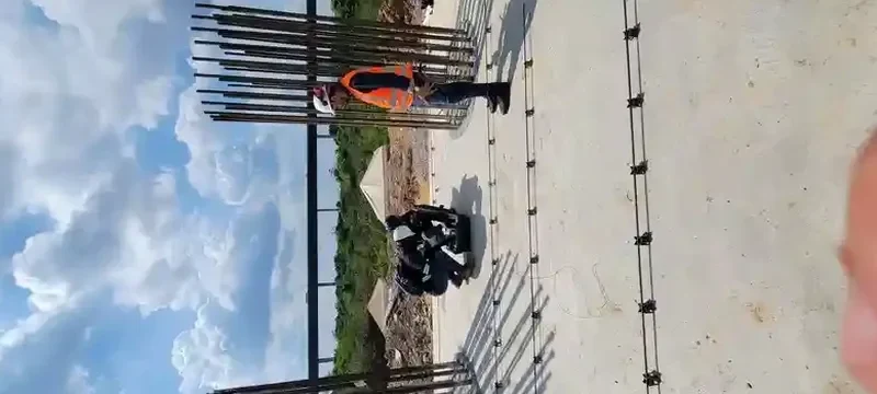
Active-Source MASW Profiling
24-channel linear array with sledgehammer source. Delivers a 1D shear wave velocity profile to 30+ meters depth for VS30 computation per ASCE 7. Standard for mid-rise buildings, warehouses, and tilt-up construction throughout Scottsdale.
Combined MASW + Refraction Microtremor (ReMi)
Passive-source extension of the survey that uses ambient noise and traffic vibration to extend the dispersion curve to lower frequencies. Ideal for deeper basin sites near the Salt River where the active-source signal may not reach the 30-meter target.
Crosshole or Downhole Seismic (CH/ DH)
Borehole-based shear wave velocity measurement for projects requiring higher resolution at depth. We run this when the structural engineer needs a layer-specific velocity profile rather than a single average VS30, or when surface access is constrained.
Site-Specific Response Spectra Development
Full ground motion analysis using the measured VS30 and site period. We input the velocity profile into equivalent-linear or nonlinear site response software to generate design spectra that may justify a lower seismic coefficient than the code default.
Typical parameters
Common questions
What does a MASW survey cost for a typical Scottsdale commercial lot?
For a standard active-source MASW survey on a commercial lot within Scottsdale, the cost typically ranges from $1,480 to $2,940 depending on the number of array spreads, site access conditions, and whether passive-source ReMi acquisition is added. A single array with a 24-channel seismograph and sledgehammer source falls toward the lower end; adding multiple spreads to map lateral variability or extending the investigation depth pushes it toward the upper range.
How does VS30 affect my building's seismic design category in Scottsdale?
VS30 is the average shear wave velocity in the upper 30 meters of the subsurface, and ASCE 7 uses it to assign a site class from A (hard rock, VS30 > 1,500 m/s) to F (problematic soils requiring site-specific study). In Scottsdale, most sites fall into Class C (360-760 m/s) or D (180-360 m/s). The site class determines the site coefficients Fa and Fv, which are multipliers on the mapped spectral accelerations. A Class D site can have short-period amplification up to 1.4 times the rock value, directly increasing the seismic base shear used in structural design.
Can MASW be performed on a site with existing pavement or hardscape?
Yes, with some limitations. We can couple geophones to asphalt or concrete using mounting plates or drilled anchors, though the high-velocity surface layer can complicate the dispersion curve inversion by introducing a strong fundamental-mode ridge. On paved sites, we often supplement the active-source MASW with a passive ReMi acquisition that uses ambient noise, which is less affected by the pavement layer. The combined dataset typically resolves the velocity profile cleanly. For sites with heavy hardscape, we may recommend test pits to verify shallow stratigraphy at the geophone locations.
How long does a MASW survey take and when do we get results?
Field acquisition for a single MASW array in Scottsdale typically takes 2 to 3 hours including layout, multiple shot gathers, and breakdown. If we are running multiple spreads across a larger footprint or adding passive-source recording, the fieldwork may extend to a full day. Preliminary VS30 and site class are available within 48 hours of acquisition; the final processed report with dispersion curves, inversion results, and design spectra is delivered within 5 to 7 working days.